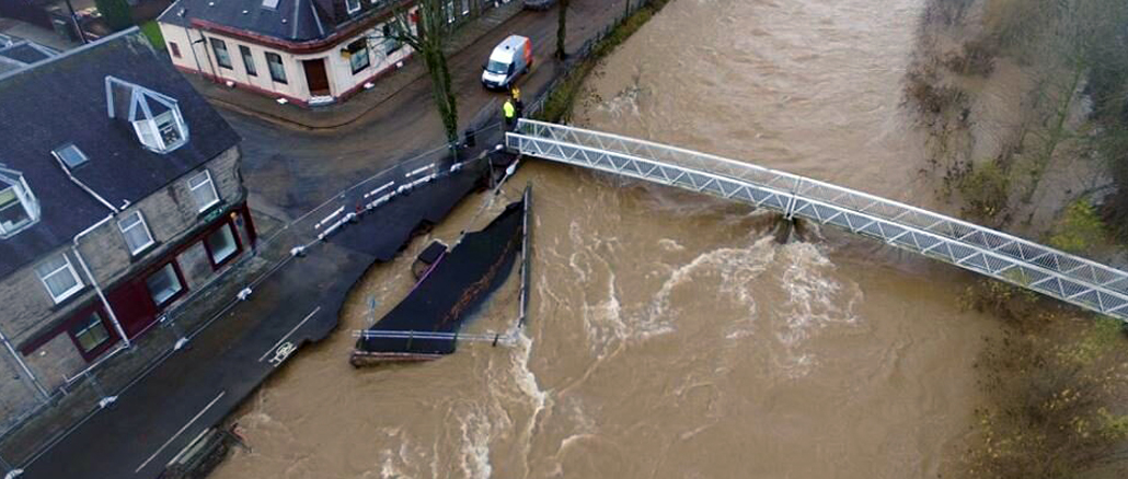
The latest local flood risk management plans for the Scottish Borders have been published, covering the period up to 2028.
Tweed, Solway and Forth Estuary local flood risk management plans (LFRMP) show how flooding will be managed in each area and include potential flood protection projects which could be progressed where funding is made available.
The three plans are part of 14 covering the whole of Scotland which have been produced by local authorities in line with Scottish Environment Protection Agency (SEPA) Flood Risk Management Plans.
Together they provide a framework for co-ordinating actions across rivers and catchments to deal with all sources of flooding and are taken into account by Scottish Ministers when funding is allocated.
This approach helps target investment to areas where there is the greatest risk of flooding and where communities can receive the greatest benefit.
As the lead authority for Tweed LFRMP, which covers the majority of the Borders, Scottish Borders Council has produced a delivery plan which sets out how flood risk will be managed, co-ordinated, funded and delivered over the next five years.
The Tweed plan includes the delivery of the Hawick Flood Protection Scheme to completion and identifies the potential for schemes in Peebles, covering the Tweed and the Eddleston Water, and the Slitrig in Hawick. Flood studies for Bonchester Bridge and Jedburgh are also included.
The Council has also contributed to the Solway LFRMP, which covers Newcastleton, and the Forth Estuary LFRMP, which includes the Berwickshire coast. A potential flood scheme for the Liddel Water in Newcastleton is included in the Solway plan.
The Flood Risk Management (Scotland) Act 2009 requires the production of Flood Risk Management Plans covering each Local Plan District (LPD) in Scotland. There are a total of 14 LPDs covering Scotland.
The plans are available from www.scotborders.gov.uk/floodplans.